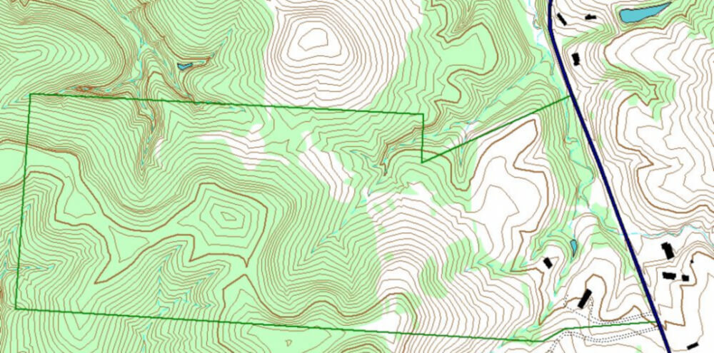
Today’s cities require complex urban plans that can be adapted quickly. Good software can ease the making and adapting of comprehensive plans. One such type of software is Geographic Information System (GIS). Let’s have a look at what GIS is and how it can be used in urban planning.
System that helps us visualize data
It is really hard to visualize how an area looks like from a list of altitudes in a spreadsheet. If we present the same data in a form of a map, the data becomes understandable. Advances in computer technology make it possible to manage large quantities of spatial data and present it in more human-friendly form. GIS is just that – a computer-based system to analyze and present spatial data.

To manage spatial data, you need good hardware and software. There is a lot of GIS software to choose from: ArcGIS, QGIS, GRASS GIS, SuperGIS etc. If you want to try a free software, check these recommendations.
GIS and Urban Planning
GIS can make 2D and 3D models of spatial data. The models help planners and citizens to imagine what the data mean. For example, a graphical representation of frequently flooded areas makes it easier for planners to decide which areas are suitable for building and which are not.
2D and 3D models are only a part of assistance that GIS software can offer to urban planners. GIS stores information about the real world as thematic layers. These layers are all linked by their geographic coordinates. This enables us to use the software for powerful spatial analysis.

For example, we can use GIS to analyze the existing situation in the city. It can help identify areas of conflict of land development with the environment by overlaying existing land development on land suitability maps. It can also show how the geographical features of the land changed over time. This makes it easier to identify unstable terrain and plan accordingly.
Geographic Information Systems makes decision making easier, quicker and better informed. As such, it has become one of the most important components in the planning support system.
Photo source: wikimedia commons; Attribution: Валерий Дед
Source: https://www.geospatialworld.net/blogs/gis-in-urban-planning/
If you wish to stay updated with our news and interesting posts like this one, please follow us on LinkedIn.


One Response
I just like the helpful information you provide to your articles.
I’ll bookmark your blog and take a look at again right here regularly.
I’m moderately certain I’ll be told plenty of new stuff proper right here!
Best of luck for the following!